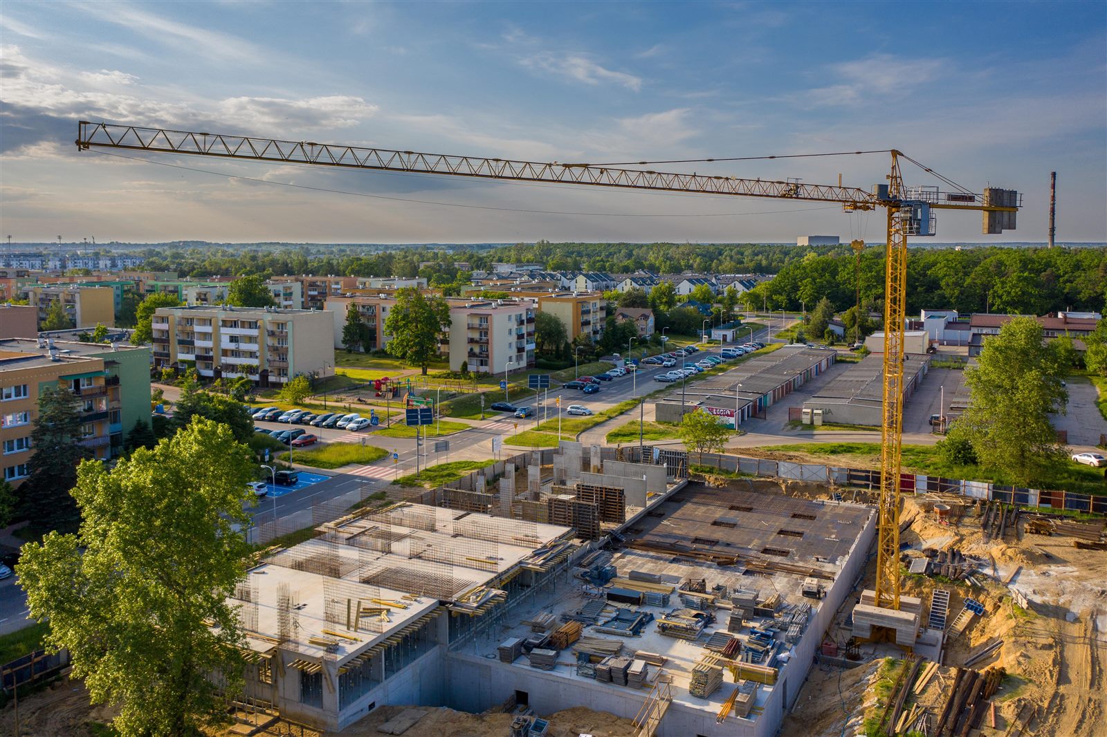
Licensed RPAS construction documentation — repeatable aerial progress photos from the same flight path, week after week.
Licensed RPAS Operations
What we document
Earthwork, grading, and foundation phases
Framing, roofing, and exterior finishing milestones
Material staging, access routes, and site layout changes
Before-and-after comparisons at key project dates
Overviews for owners, lenders, investors, or municipal records
Why use a remotely piloted aircraft (RPAS)?
Ground photos only capture what is in front of you. An RPAS returns to the same GPS-assisted vantage point so your entire site is documented consistently over time.
Same shot, every visit. GPS-assisted flight paths let us return to the same height and angle so week-over-week comparisons are meaningful, not guesswork.
The whole site in one frame. Walk-through photos only show what you stand in front of. An aerial view includes staging areas, access roads, neighbouring constraints, and work happening simultaneously across the lot.
Keep remote stakeholders aligned. Owners, lenders, and investors stay informed without scheduling site walks — especially valuable for out-of-town clients.
Support progress billing. Dated aerial records help document milestone completion when payment schedules depend on visible progress.
Reduce disputes. A clear visual record of grading, drainage, and material placement can clarify what was on site and when.
Marketing when you're done. Time-lapse-ready imagery doubles as portfolio and promotional material at project close-out.
Who it's for
General contractors, custom home builders, developers, and property owners who want a reliable visual record from breaking ground through completion.
RPAS deliverables
Dated aerial overviews from a consistent flight path
Full-site images showing staging, access, and layout changes
Milestone photos for framing, roofing, and close-out
Shareable files for owners, lenders, and remote stakeholders