Solar Inspections
Licensed RPAS solar site inspections — high-resolution aerial documentation plus optional thermal imaging to locate defective cells and module hot spots without walking rows or climbing roofs.
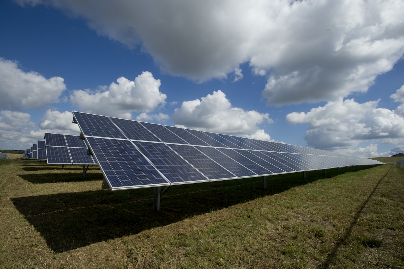
What we inspect
- Rooftop PV arrays — panel condition, mounting hardware, roof transitions, and perimeter access from safe standoff distances
- Ground-mount systems — full-site overviews, row alignment, racking, fencing, and inverter pad areas
- Visible panel defects — cracked or discoloured modules, soiling patterns, debris, and animal nesting where visible from the air
- Thermal anomalies — hot spots and uneven heating patterns that can indicate defective cells, substring faults, or failing bypass diodes (thermal camera flights available)
- Storm & hail documentation — dated imagery across the entire array for insurance and warranty claims
- Vegetation & drainage — encroachment, shading risks, and grading issues affecting ground-mount sites
- Commissioning & handover — baseline aerial records for new installs, asset transfers, and O&M contracts
Thermal imaging for solar cell defects
A radiometric thermal payload on the aircraft detects temperature differences across modules that are invisible in standard photos — helping you find underperforming strings before they show up on the meter.
- Hot spot detection. Elevated module temperatures often point to cracked cells, failed bypass diodes, or partial substring faults that reduce output.
- Whole-array screening. Thermal passes cover large ground-mount sites and multi-row rooftops far faster than handheld spot checks row by row.
- RGB + thermal reporting. Deliverables can pair colour reference photos with thermal frames so O&M teams know exactly which modules to isolate.
- Repeatable O&M baselines. Revisit flights from consistent angles make it easier to track new anomalies against prior surveys.
- Prioritize truck rolls. Flag only the strings and sections that need ground verification — less time on site, fewer unnecessary module swaps.
Thermal solar surveys are available on request. Tell us your array size and whether you need a one-time baseline or recurring O&M documentation.
Why use a drone for solar inspections?
A remotely piloted aircraft covers large PV sites in a fraction of the time it takes to walk every row or access multiple roof elevations — while keeping inspectors safely on the ground.
- Faster full-site coverage. Ground-mount arrays and multi-roof commercial installs are documented in one flight plan instead of hours on foot.
- Safer access. Steep roofs, elevated racking, and live electrical environments stay off-limits — the sensor comes to the array, not the inspector.
- Consistent revisit angles. Repeat flights from the same positions make it easier to compare O&M visits, repairs, and seasonal changes over time.
- Whole-array context. Overview photos show soiling gradients, shading, drainage, and damage patterns that are easy to miss from a single row walk.
- Minimal site disruption. Visual inspections can often be completed without entering energized areas or shutting down production.
- Clear records for stakeholders. Share organized imagery with O&M teams, EPC contractors, asset owners, and insurers before dispatching truck rolls.
- Better scoping before mobilization. Identify which strings, rows, or roof sections need hands-on work — reducing unnecessary climbs and truck visits.
Who it's for
Solar installers, O&M providers, commercial property owners, farmers with ground-mount arrays, and asset managers who need dated aerial documentation of PV sites across Southwestern Ontario.
RPAS deliverables
Ready to document your solar site?
Tell us about your array size and location — we'll reply with a straightforward quote.
Get in Touch